
Maps

1914 Plat map of the Town of Albion

Plat book ad,

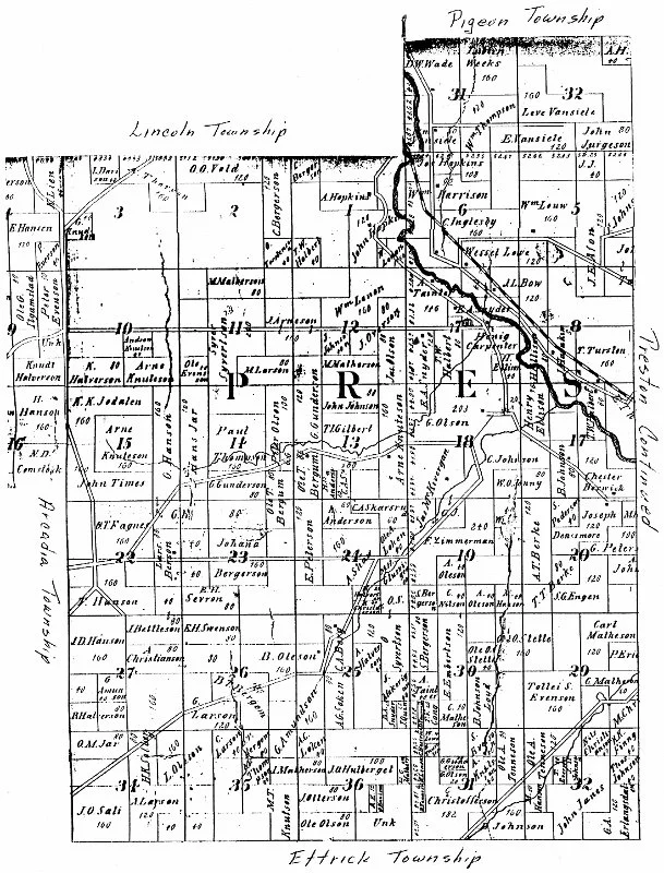
eastern Town of Arcadia and part of west Preston 1914

Green Bay and Western Railroad route

Ads from around 1905, Arcadia

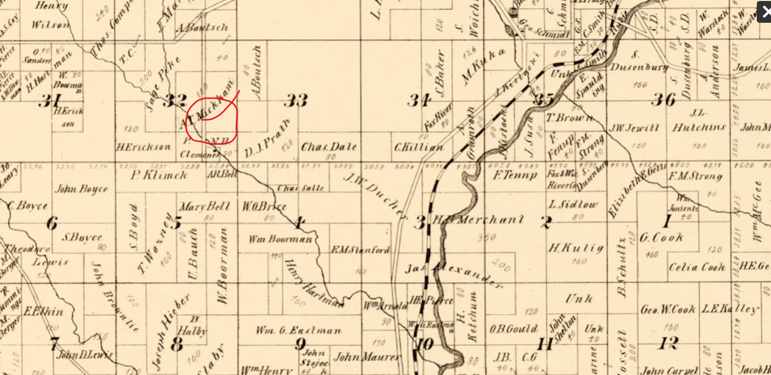
NW part of 1914 Town of Arcadia

southern part of Town Arcadia 1914

Dairy equipment ad 1916

Town of Preston 1914

1865 map of town of Caledonia

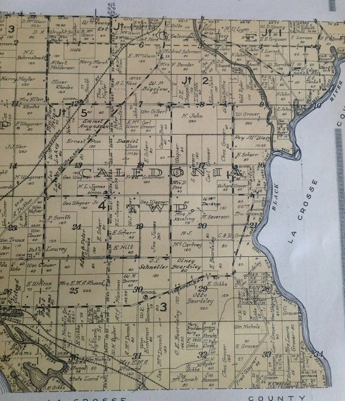
Caledonia 1914

1876 Chappell Farm in Town of Caledonia

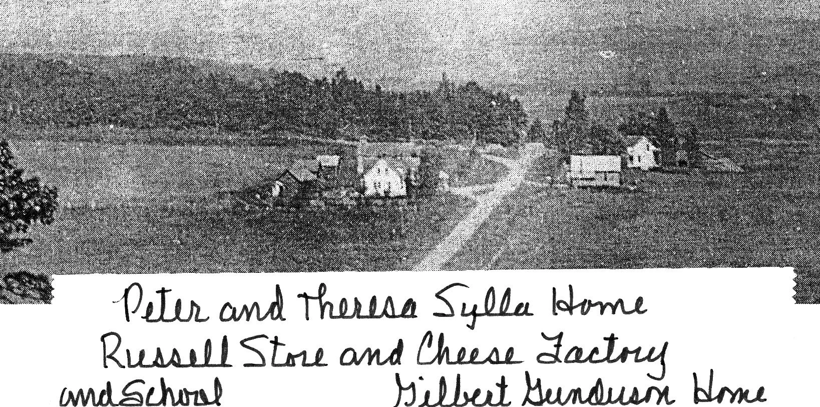
1876 Hannam Farm

Town of Chimney Rock 1914 Chimney Rock was created out of the Town of Burnside in the 1870's
1908 view of little village of Chimney Rock at the intersection of Cty Rd V and Hwy 121

1877 Dodge (created out of the northern part of the Town of Trempealeau

1914 Dodge on left, part of Town of Trempealeau on right
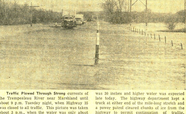
Dodge Flood 1956
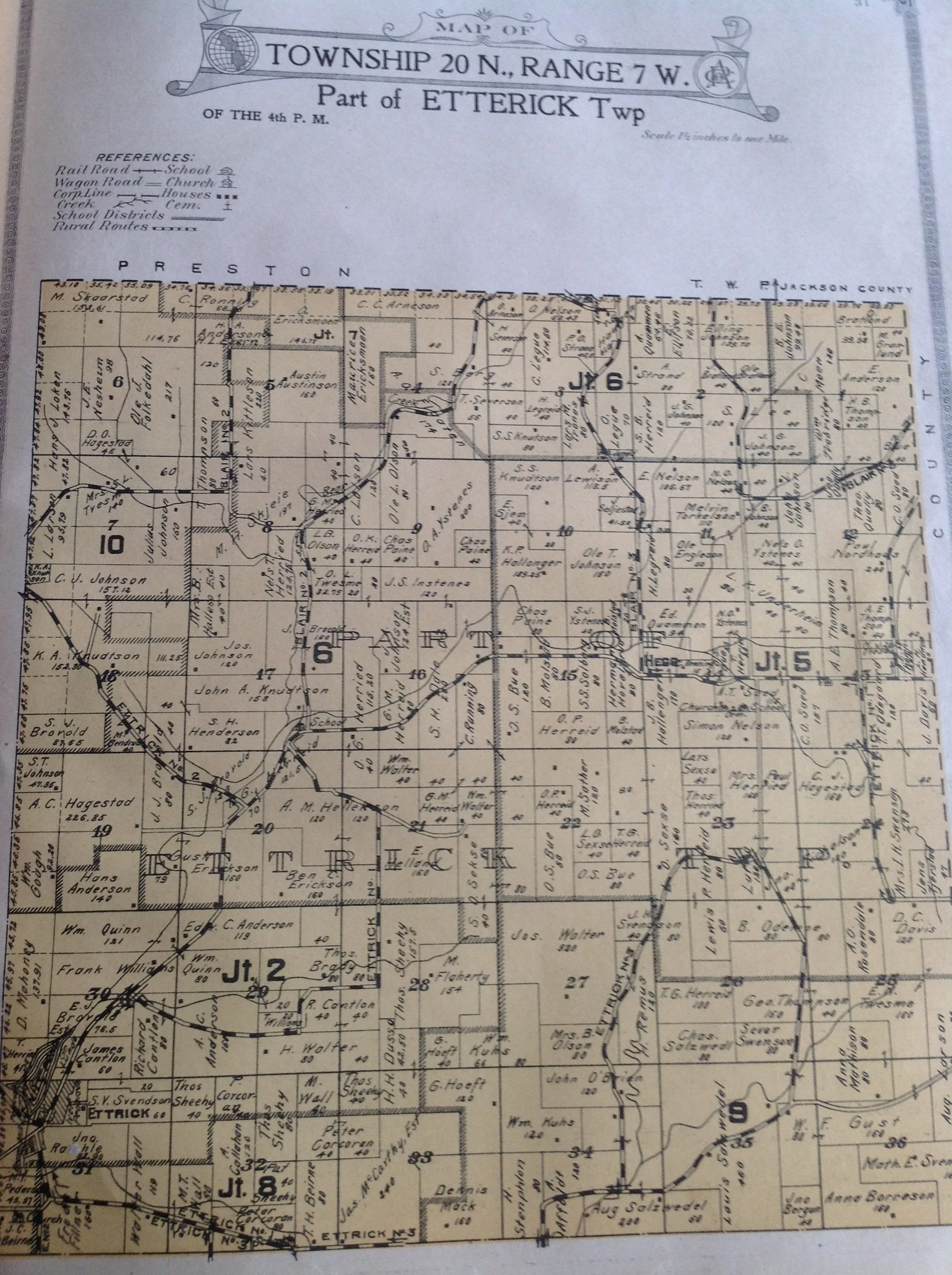
Town of Ettrick 1914 (misspelled)

Ettrick ad
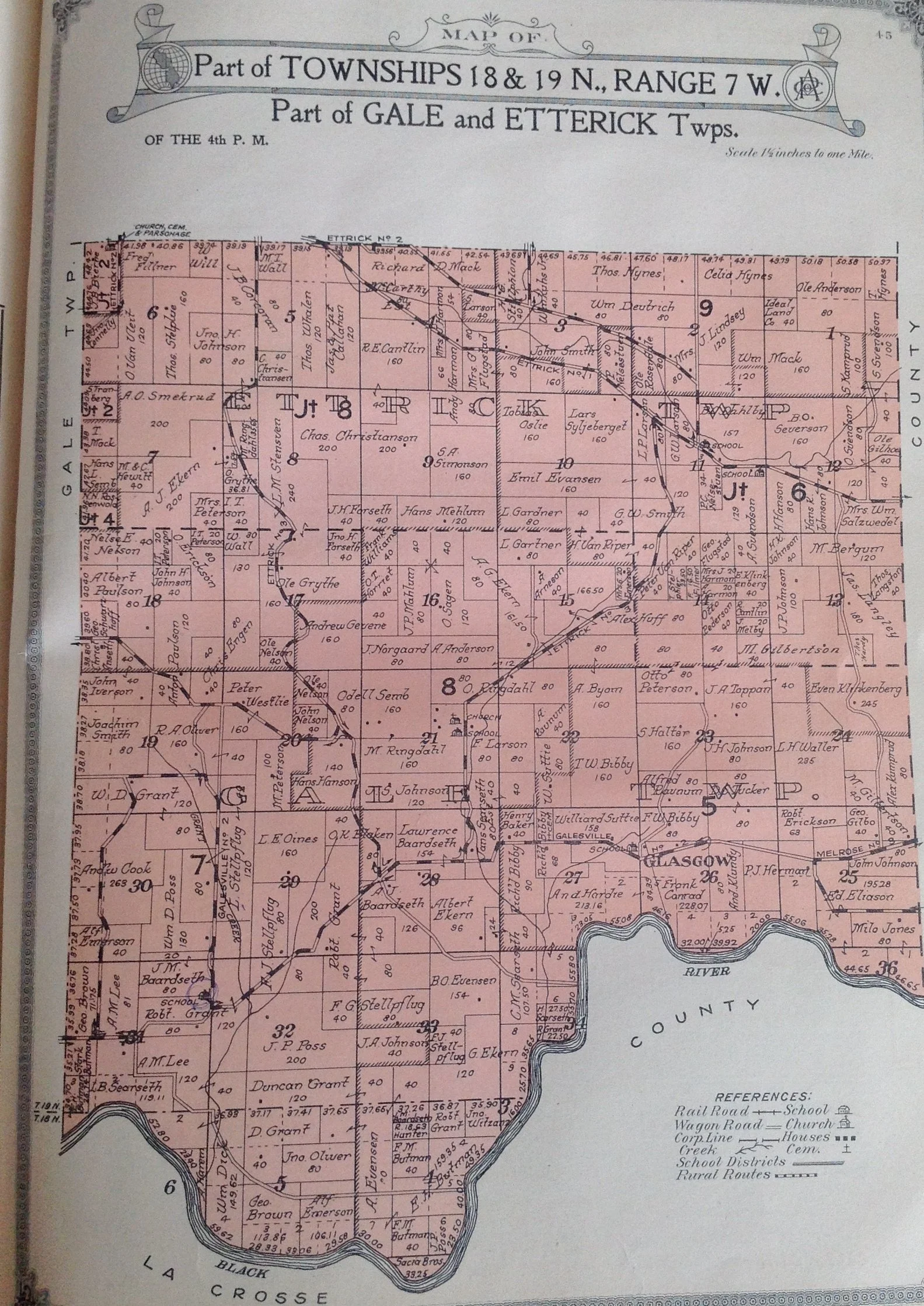
Part of Gale and Ettrick
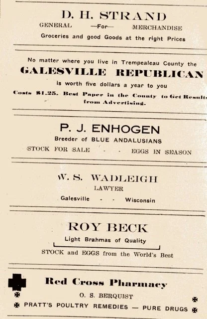
Galesville Ads 1915

Town of Hale East 1914

Hale West 1914

Elk Creek Lutheran Church around 1920

Independence Wedding Dance
1914 Town of Burnside
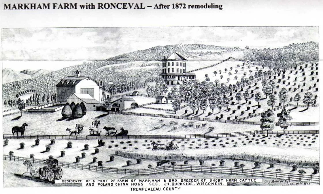
Markham Farm and Octagon House , Independence 1877
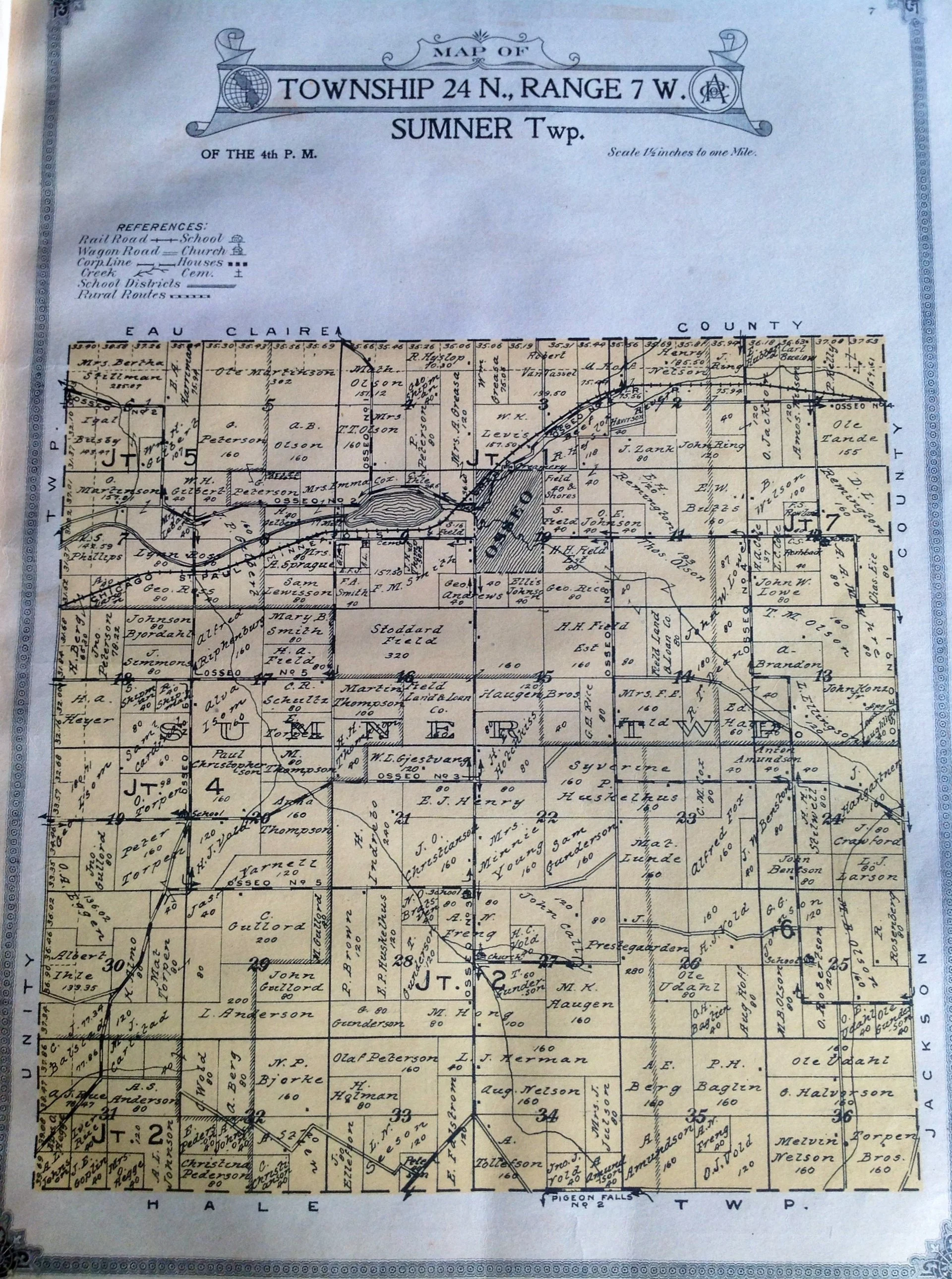
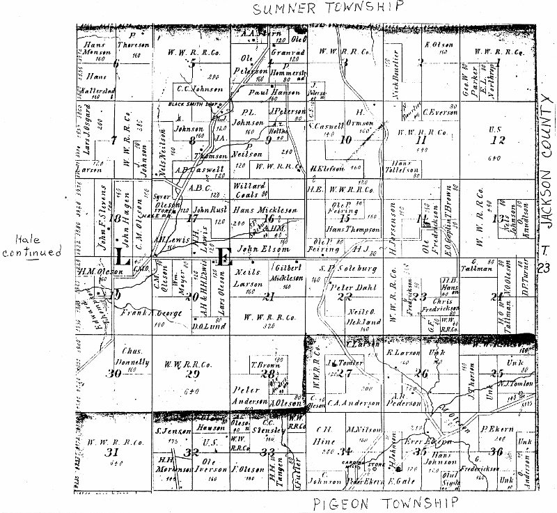
Town of Sumner 1914

1877 Sumner Mill
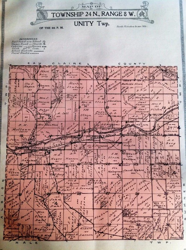
Town of Unity

1914 Strum Ads
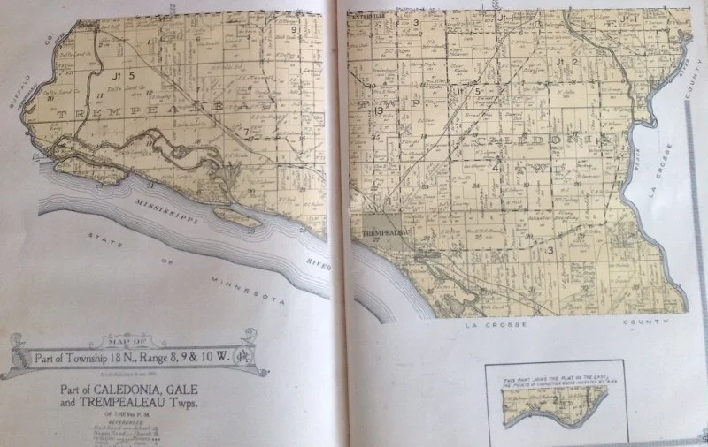
South Town of Trempealeau 1914
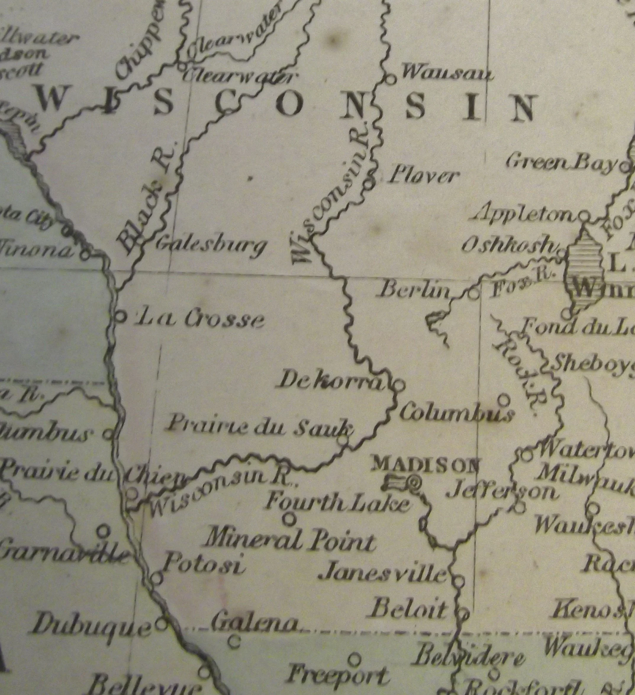
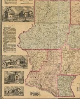
Wisconsin 1855 Galesville is called Galesberg
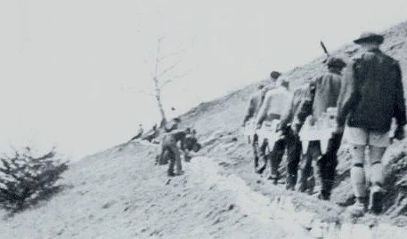
CCC working on Brady Bluff trail 1933
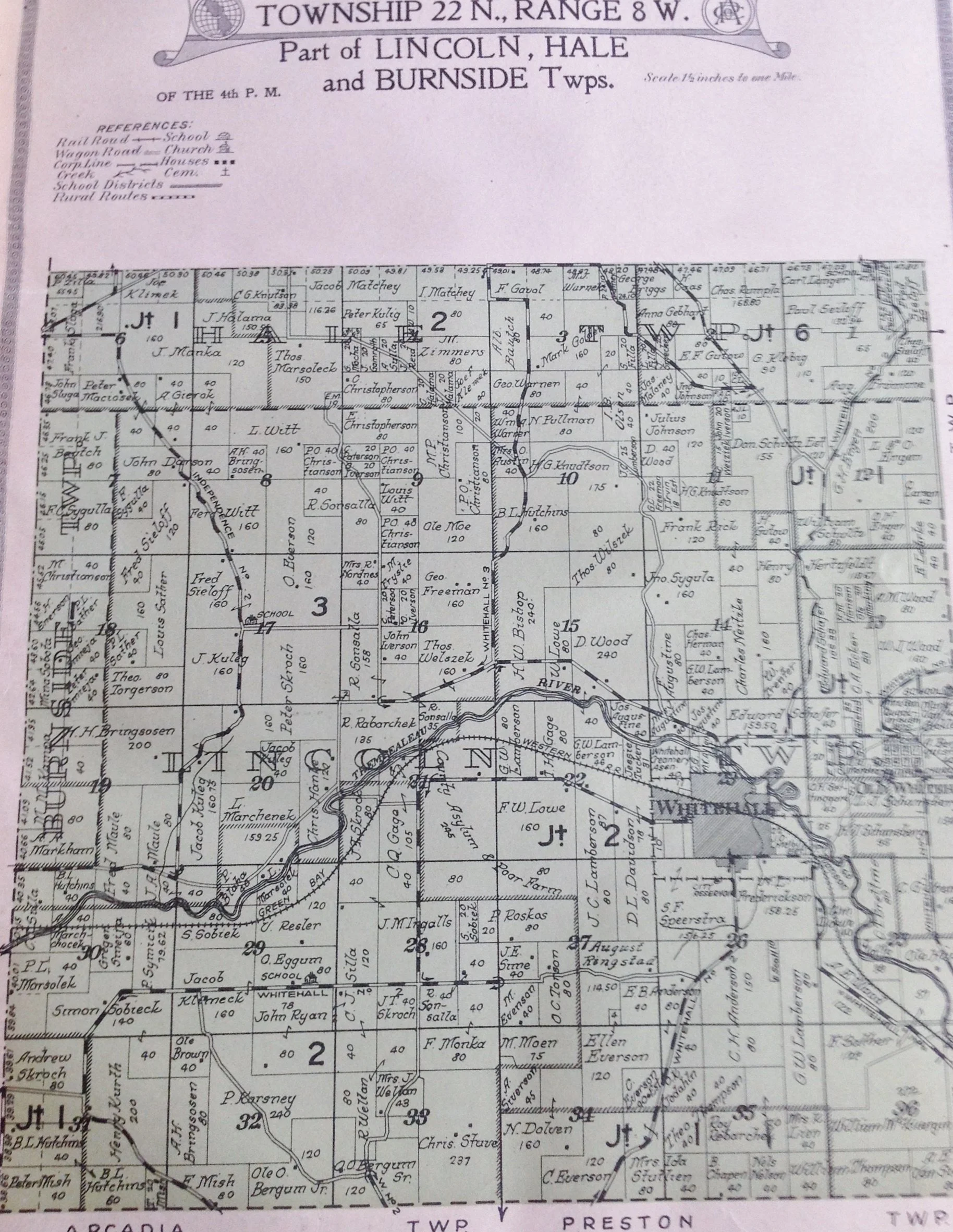
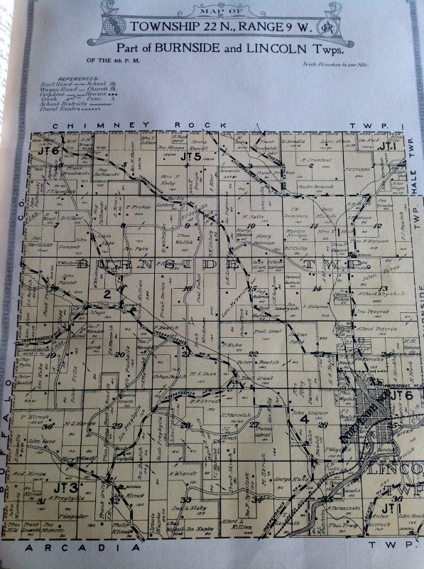
Town of Lincoln 1914

Lawywer Ole J Eggum

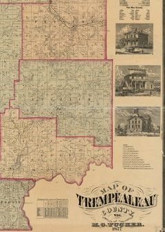
1877 Tucker Map ( It had many misspellings and mistakes )

Albion

SW Arcadia

Arcadia SE

Arcadia NW

Arcadia NE

Arcadia West

Burnside North ( became Chimney Rock)

Burnside South

Ettrick East

Ettrick West
Hale East

Lincoln
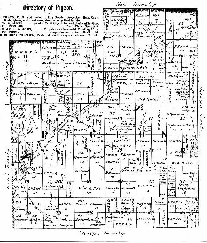
Pigeon

Preston East
Preston West
Sumner East

Sumner West

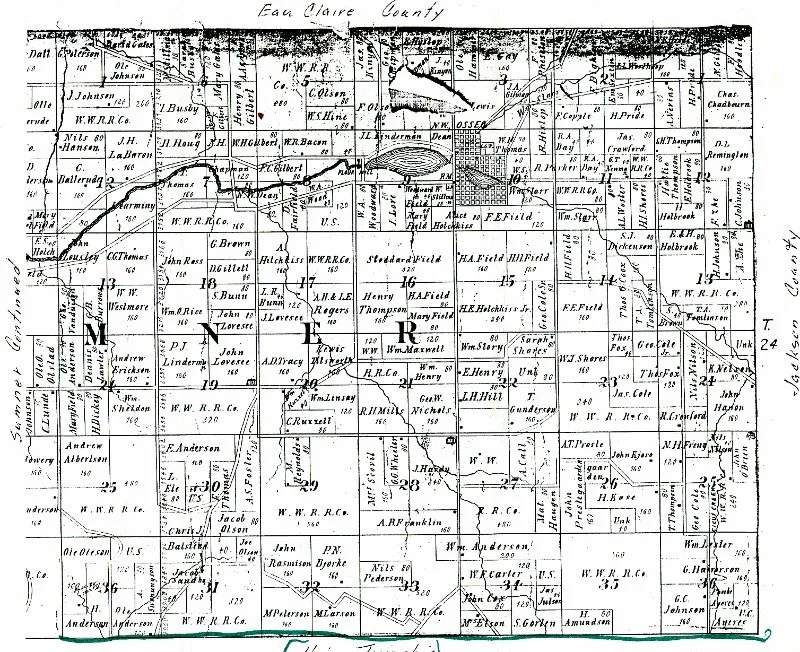
Trempealeau east

Trempealeau North

Trempealeau West

1938 Ettrick aerial photo

Trempealeau aerial photo 1938

Tucker map NW

Tucker Map NE
Tucker SW
Tucker SE
1877 Upper Wickham Valley